
Commercial Property Documentation
Create a clear visual record of the property.
Elevated Drone Services provides organized aerial imagery and professional documentation that helps commercial owners, property managers, facility teams, and contractors understand property conditions, communicate clearly, and compare changes over time.
- High-resolution aerial property imagery
- Organized and repeatable documentation
- Professional PDF reporting options
Pricing is customized based on property size, number of buildings, requested viewpoints, documentation frequency, reporting needs, travel, and site complexity.
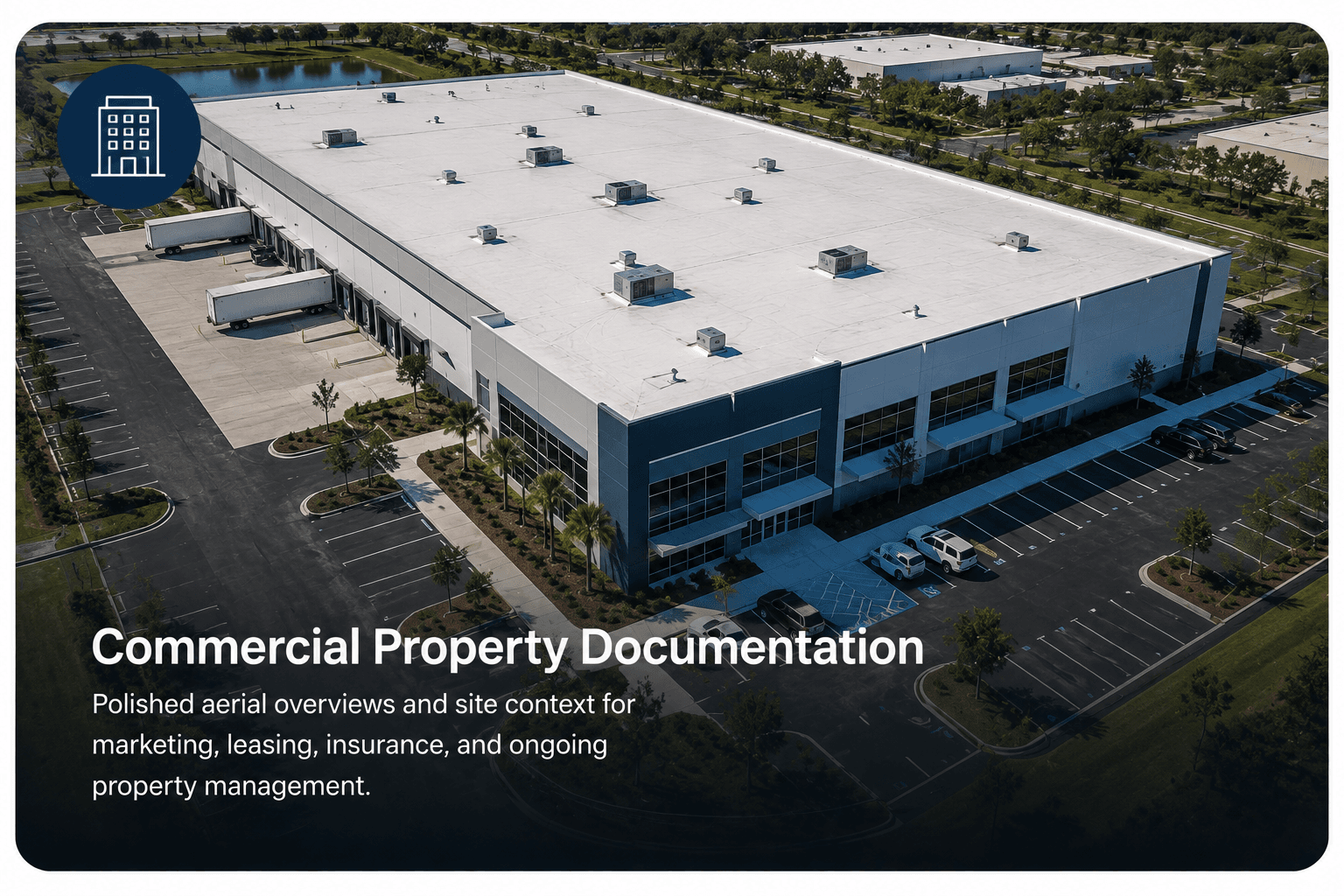
A useful record for decisions today and comparisons later
Organized aerial documentation gives property stakeholders a broader view of buildings and surrounding areas while creating a dated record that can be reviewed and shared. It does not determine code compliance, structural integrity, insurance coverage, property boundaries, or legal responsibility.
What can be documented
Coverage focuses on observable exterior areas within the agreed project scope. This is not a property survey, boundary survey, engineering inspection, code inspection, or insurance inspection.
- Roof surfaces and rooftop equipment
- Building exteriors and elevations
- Parking areas and drive lanes
- Drainage paths and visible ponding
- Landscaping and surrounding grounds
- Signage and exterior property features
- Multiple buildings across one site
- Visible areas that may warrant closer evaluation
Actual coverage depends on safe flight access, airspace, visibility, property layout, vegetation, obstructions, and the agreed project scope.
One-time and recurring documentation
One-Time Property Record
A single project can document present conditions before maintenance, repairs, ownership transitions, contractor work, or severe-weather seasons.
Recurring Documentation
Scheduled imagery from similar viewpoints can create a more consistent visual history for annual, twice-yearly, quarterly, or project-based comparison.
Consistent viewpoints and organized records make it easier to understand what changed, when it changed, and where closer evaluation may be useful.
Designed for
How the project works
01
Define the property and goals
Review the location, number of buildings, areas to document, intended use, desired viewpoints, and requested deliverables.
02
Plan the documentation
Confirm site access, airspace, weather, safe operating areas, property layout, and the appropriate flight plan.
03
Capture organized imagery
Collect high-resolution aerial images from useful overview and detail perspectives within the agreed project scope.
04
Deliver the property record
Organize the selected imagery, annotations, observations, and reporting materials for clear review and sharing.
Expected scheduling and delivery timing will be confirmed with the quote.
Possible deliverables
- High-resolution aerial property imagery
- Building and site overview images
- Roof and exterior detail photographs
- Annotated areas of interest
- Repeat-viewpoint comparisons when applicable
- Before-and-after documentation
- Organized image collections
- Downloadable professional PDF report
- Documentation prepared for owners, contractors, and facility teams
Deliverables are selected based on the purpose of the project.
The sample focuses on roof documentation but demonstrates the organization, annotations, imagery, observations, and professional report format available for commercial projects.
Add specialized documentation when the project requires it
These services can be quoted separately or combined into a customized documentation plan when appropriate.
Service area
Elevated Drone Services provides commercial property documentation across Central Florida, including Orange, Seminole, Volusia, Lake, and Brevard counties.
Frequently asked questions
What is commercial property drone documentation?
It is an organized collection of aerial imagery and selected reporting materials used to record observable exterior property conditions at a particular time.
Is this the same as a property inspection or survey?
No. It does not determine property boundaries, code compliance, structural condition, engineering conclusions, or hidden conditions.
Can you return and photograph the same property again?
Yes, subject to weather, airspace, access, safety, and availability. Similar viewpoints can support comparison, but exact duplication is not guaranteed.
Can multiple buildings be included?
Yes. The quote will account for the number of buildings, property size, complexity, requested coverage, and deliverables.
How is the service priced?
Quotes are customized based on property size, building count, flight complexity, requested imagery, reporting, frequency, travel, and site conditions.
Build a clearer property record.
Aerial property documentation records observable exterior conditions within the agreed project scope. It is not a boundary survey, engineering evaluation, code inspection, insurance adjustment, or guarantee that every property condition will be visible.